
Alta Planning + Design is a proud sponsor of the California Trails & Greenways Conference. The conference provides two days of high-quality education and networking opportunities for urban, rural, and backcountry trail professionals.
Sessions Alta staff will be leading or participating in:
Pocket Trails: Small Trails, Big Impact
Pocket trails are short trails that often exist in unlikely locations. They’re found in the spaces that have been thought unbuildable, unusable, or undesirable. Pocket Trails open up areas to new users – adding a hiking trail around an outdoor entertainment venue, for example. They also enhance connectivity between larger trails and between neighborhoods. Opportunities for pocket trails are often found where perceived barriers are associated with building on a particular stretch of land, due to easements, environmental, geological, or topographic constraints, or, increasingly, a change in perception of what constitutes an appropriate space for a trail. Just as pocket parks have been able to bring open space through an incremental process, pocket trails can be used to provide new public uses around museums, concert halls and cultural institutions, improve local connectivity, and solidify and enhance existing trail networks.
Pop-up Trails: Demonstrating Long-Term Value
Feelings of mistrust and suspicion from residents and decision-makers can often delay or completely derail trail projects. Anxieties about noise, privacy, safety, user conflict, and high costs are difficult to overcome during the trail planning phase no matter how many success stories and studies are presented. This session will describe how planners can create a unique outreach experience by developing low-risk, low-cost, and temporary “pop-up trails.” Recent 4 demonstration trails in Palo Alto and Garden Grove have helped residents better understand through first-hand experience the trade-offs and potential benefits of creating trails in their community. Palo Alto’s “Greenway for a Day” event attracted over 200 participants to experience a section of potential trail along the Matadero Creek. More than 10,000 pedestrians and bicyclists have participated in “Re:Imagine Garden Grove,” an open streets event where nearly three miles of car-free streets are accessible in Garden Grove, including a section of possible trail along Pacific Electric right-of-way. City officials responsible for organizing these temporary trail experiences will provide presentations with details on how each event was organized, how the event has impacted the long-term development of trails in their community, and their lessons learned.
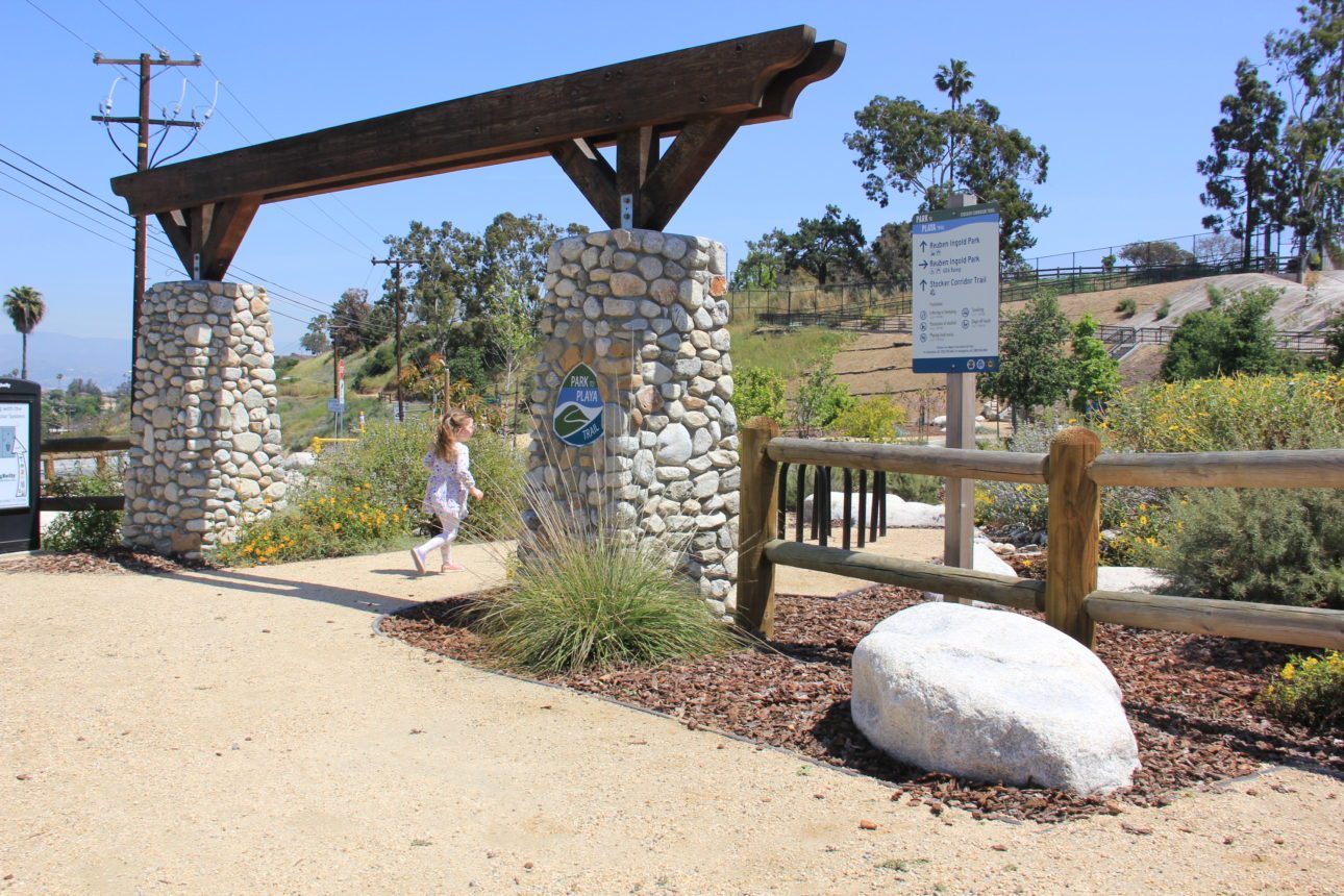
You Can Get There: Wayfinding Within and Beyond the Standards
Wayfinding systems are essential tools for legible trail systems, clarifying routes and helping users comfortably reach destinations. Navigational elements also enhance awareness, economic investment, and environmental benefits, all while contributing to community pride. This session will focus on wayfinding best practices for bicycle, pedestrian, and trail networks in urban and rural areas. Funding for guide signs can require adherence to federal standards in the California Manual on Uniform Traffic Control Devices (CAMUTCD). Numerous municipalities, however, are pushing the boundaries of the technical requirements to achieve effective wayfinding systems that include local community character. Specific examples of how communities are working within and beyond the CAMUTCD to achieve compelling wayfinding systems will be shared. The session will also explore existing and emerging wayfinding technologies that enhance onsite wayfinding elements to help you take wayfinding beyond the standards.
Community Led Trail Planning with Land Manager Agencies
This presentation will illustrate a community-led volunteer partnership for trail planning with land management agencies. The program uses volunteers to inventory currently used public trails and develop a comprehensive report. Incline Village and Carson City communities will be shown as examples of this process. The volunteer group first establishes a mission, goals, and objectives for a clear vision of this trail planning effort. Support is obtained from all the land managers in the planning area. Volunteers then GIS all the trails and developed a draft trail inventory map for review by the partners. These trails are then evaluated for sustainability. Private property trespass trails were mapped and letters sent to ask permission for that section of trail to be allowed for the draft map. After the agency review, the community group then held public workshops and did surveys for public input. A report was done with the results of the mapping, surveys, and workshops. The report makes recommendations for priorities for trails, trailheads, and property concerns. It also details other important recommendations to build a good trail plan for the community. The final goal was to develop MOUs with the land managers to support trails in the community.